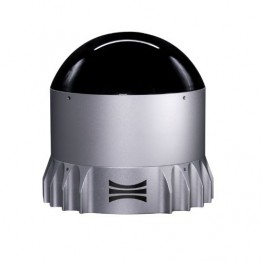
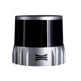
The OS1 LiDAR (Rev 6) is another model from the Ouster OS series, offering a range of 120 metres, high-definition output data, and an image reproduction almost as accurate as a video recording.
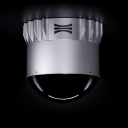
This new series of LiDARs by Ouster is a clear demonstration of the company’s technological acumen. With the OS1, you get a broader detection range compared to the OS0. The LiDAR can recognise obstacles up to 120 metres away in a fixed or moving environment, and in all weather conditions.
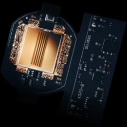
Not only does it have a high dust and moisture ingress protection, but the OS1 LiDAR also benefits from all the functionalities of the L2X system-on-chip. The L2X chip promises an excellent level of consistent detection and definition in literally any weather, even a smoky environment.
The L2X system doubles the processing power and output data, enabling your device to meet all navigation and robotic vision requirements. It is also particularly lightweight, so can be easily mounted on all systems.
Gemini, a perception platform compatible with Ouster LiDAR
The Ouster Gemini platform aims to improve safety, intelligent transportation systems or smart cities. It enhances detection and classification performance with more accurate and comprehensive people and vehicle tracking data.
This advanced solution simplifies operations and is more cost-effective, as it requires less sensors.
The Unshakeable Alliance: AI-Optimized Ouster LiDAR for Technological Revolution
Ouster LiDAR utilizes Artificial Intelligence to optimize its technology for unprecedented speed and precision across a range of applications.
In the context of autonomous driving, AI plays a crucial role in processing the massive data collected by Ouster LiDAR sensors. The integration of AI enables Ouster LiDAR real-time decision-making, considering multiple parameters, thus enhancing road safety.
In the field of robotics, AI coupled with Ouster LiDAR data provides enhanced perception to robots. This enables them to navigate through complex environments, avoid obstacles, and accomplish various tasks autonomously.
In mapping, the combination of AI and Ouster LiDAR data allows for precise topography modeling. The 3D information obtained through LiDAR sensors facilitates the creation of detailed maps, thereby improving urban planning, resource management, and emergency response.
Artificial intelligence is thus indispensable in Ouster LiDAR technology.
Ouster LiDARs can be integrated into all kinds of projects, such as the implementation of smart cities.
A German city used hundreds of Ouster OS1 LiDARs to create a digital twin of the city. Find out how this project was handled in our blog post.
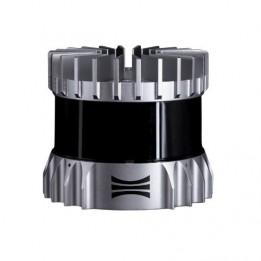
The OS1 LiDAR (Rev 6) is another model from the Ouster OS series, offering a range of 120 metres, high-definition output data, and an image reproduction almost as accurate as a video recording.
")
")
")
")
")
")
")
")